Skip to content
NOWCAST WYFF News 4 Today
Watch on Demand
Advertisement

Here’s how to understand symbols on hurricane weather map

hurricane storm track
Hurricane Track
hurricane storm track
SOURCE: Hurricane Track
Advertisement
Here’s how to understand symbols on hurricane weather map
As Hurricane Florence continues to move into the Carolinas, the information on hurricane maps becomes increasingly important to those in inland areas. Here is what the various letters and symbols mean: L: Low pressure system - associated with rising air, which causes clouds and rain D: Tropical Depression - wind speed less than 39 mphS: Tropical Storm - wind speed between 39 mph and 73 mph H: Hurricane - wind speed between 74 mph and 110 mph M: Major Hurricane - wind speed greater than 110 mph The cone on the map indicates the potential path of the storm, and it indicates the uncertainty of where the storm is headed. A hurricane has the potential of changing directions as it moves forward, and it has the possibility of moving anywhere within the predicted track. The cone narrows as the forecast is more refined.If the hurricane symbol has a number in it, it indicates the category of the hurricane:Category 1: 74-95 mph Very dangerous winds will produce some damage: Well-constructed frame homes could have damage to roof, shingles, vinyl siding and gutters. Large branches of trees will snap and shallowly rooted trees may be toppled. Extensive damage to power lines and poles likely will result in power outages that could last a few to several days. Category 2: 96-110 mph Extremely dangerous winds will cause extensive damage: Well-constructed frame homes could sustain major roof and siding damage. Many shallowly rooted trees will be snapped or uprooted and block numerous roads. Near-total power loss is expected with outages that could last from several days to weeks. Category 3: 111-129 mph Devastating damage will occur: Well-built framed homes may incur major damage or removal of roof decking and gable ends. Many trees will be snapped or uprooted, blocking numerous roads. Electricity and water will be unavailable for several days to weeks after the storm passes. Category 4: 130-156 mph Catastrophic damage will occur: Well-built framed homes can sustain severe damage with loss of most of the roof structure and/or some exterior walls. Most trees will be snapped or uprooted and power poles downed. Fallen trees and power poles will isolate residential areas. Power outages will last weeks to possibly months. Most of the area will be uninhabitable for weeks or months. Category 5: 157 mph or higher Catastrophic damage will occur: A high percentage of framed homes will be destroyed, with total roof failure and wall collapse. Fallen trees and power poles will isolate residential areas. Power outages will last for weeks to possibly months. Most of the area will be uninhabitable for weeks or months.

As Hurricane Florence continues to move into the Carolinas, the information on hurricane maps becomes increasingly important to those in inland areas.

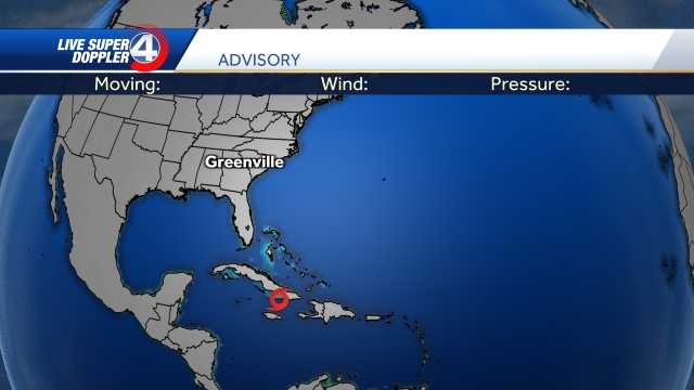
Here is what the various letters and symbols mean:

Advertisement

L: Low pressure system - associated with rising air, which causes clouds and rain

D: Tropical Depression - wind speed less than 39 mph

S: Tropical Storm - wind speed between 39 mph and 73 mph

H: Hurricane - wind speed between 74 mph and 110 mph

M: Major Hurricane - wind speed greater than 110 mph

WYFF-TV

The cone on the map indicates the potential path of the storm, and it indicates the uncertainty of where the storm is headed. A hurricane has the potential of changing directions as it moves forward, and it has the possibility of moving anywhere within the predicted track. The cone narrows as the forecast is more refined.

If the hurricane symbol has a number in it, it indicates the category of the hurricane:

Category 1: 74-95 mph

Very dangerous winds will produce some damage: Well-constructed frame homes could have damage to roof, shingles, vinyl siding and gutters. Large branches of trees will snap and shallowly rooted trees may be toppled. Extensive damage to power lines and poles likely will result in power outages that could last a few to several days.

Category 2: 96-110 mph

Extremely dangerous winds will cause extensive damage: Well-constructed frame homes could sustain major roof and siding damage. Many shallowly rooted trees will be snapped or uprooted and block numerous roads. Near-total power loss is expected with outages that could last from several days to weeks.

Category 3: 111-129 mph

Devastating damage will occur: Well-built framed homes may incur major damage or removal of roof decking and gable ends. Many trees will be snapped or uprooted, blocking numerous roads. Electricity and water will be unavailable for several days to weeks after the storm passes.

Category 4: 130-156 mph

Catastrophic damage will occur: Well-built framed homes can sustain severe damage with loss of most of the roof structure and/or some exterior walls. Most trees will be snapped or uprooted and power poles downed. Fallen trees and power poles will isolate residential areas. Power outages will last weeks to possibly months. Most of the area will be uninhabitable for weeks or months.
Category 5: 157 mph or higher

Catastrophic damage will occur: A high percentage of framed homes will be destroyed, with total roof failure and wall collapse. Fallen trees and power poles will isolate residential areas. Power outages will last for weeks to possibly months. Most of the area will be uninhabitable for weeks or months.